
Onze boeken
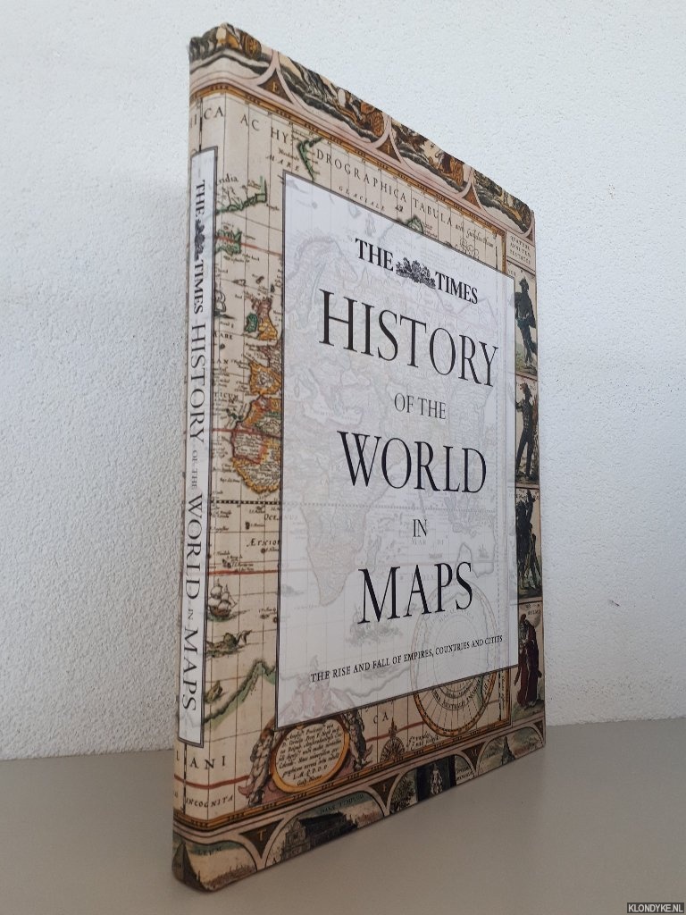
History of the World in Maps: The Rise and Fall of Empires, Countries and Cities
Door Mick Ashworth
Categorie | Boekdrukkunst & Boeken |
|---|---|
Boeknummer | #400085-MB13 |
Titel | History of the World in Maps: The Rise and Fall of Empires, Countries and Cities |
Auteur | Ashworth, Mick |
Boektype | Gebonden hardcover met stofomslag |
Uitgeverij | London : Times Books |
Jaar van uitgave | 2014 |
ISBN10 | 0007588240 |
ISBN13 | 9780007588244 |
Taal | Engels |
Beschrijving | Original pictorial boards, dust jacket, map on endpapers, illustrated with numerous (double page) maps in colour, folio. |
Samenvatting | From Babylonian tablets to Google Maps the world has rapidly evolved and cartography has kept pace with these changes. Over 60 maps give a visual representation of the history of the world. Every map tells a story and this book tells the story of the world. Including many famous cartographic pieces along with some not so well known, see countries come and go and empires rise and fall. Maps included are: - Babylonian clay tablet, c. 600 BC - Ptoloemaic World Map, 1482 - The Hereford Mappa Mundi, c. 1290 - Waldseemuller World Map, 1507 - William Blaeu World Map, 1630 - Red-line map of North America, 1782 - Political map of the World, 1914 - Times Survey Atlas of the World, 1922 - World Powers, 1957 - The World at the millennium, 2000 Compiled by the team responsible for producing The Times A... (Lees verder)tlas of the World. Collins Bartholomew has been in the business of map production for over 175 years and has a worldwide reputation for providing a high quality custom and digital mapping service to a variety of markets, as well as delivering an extensive list of published products for its own parent, HarperCollins Publishers. |
Pagina's | 256 |
Conditie | Goed |
Prijs | € 20,00 |
Zie ook


 door F. Buisson")
Onze gebruikte boeken verkeren in goede tweedehands staat, tenzij hierboven anders beschreven. Kleine onvolkomenheden zijn niet altijd vermeld.